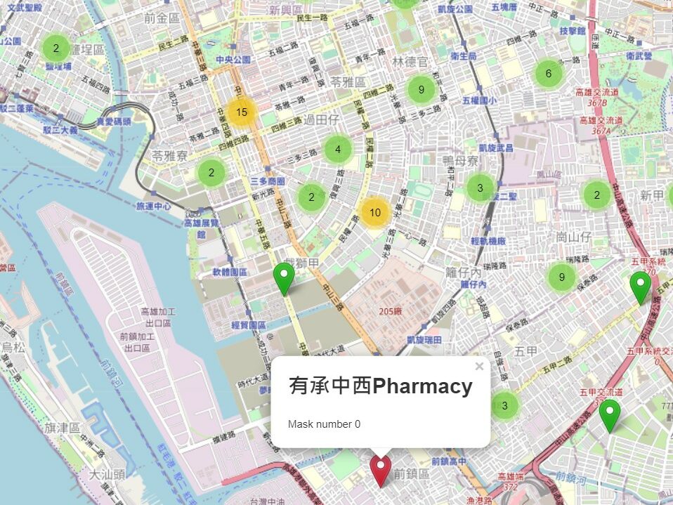
According to latitude and longitude, import data and images literally. Like one layer is mask storage quantity, one layer is a map and so on. Furthermore, giving mark a different color based on the total inventory within a certain range. Red is sold out. Orange is danger and green is safe.
Im very pleased to find this site. I need to to thank you for ones time for this particularly fantastic read!! I definitely really liked every part of it and I have you bookmarked to see new information on your site.
I know this website gives quality based posts and other data, is there any other
website which presents these kinds of things in quality?
I asked for data from a mock database, so the quality isn’t the current number in those pharmacies. Due to practice, you can see this map only offers a part of pharmacy data after you narrow it.
I have practiced another API case, please visit another post, called Ajax & Vue Practice.
Hello to every body, it’s my first pay a quick visit of this website; this weblog consists of remarkable and genuinely
good material in support of visitors.
What a information of un-ambiguity and preserveness of
precious experience concerning unpredicted feelings.