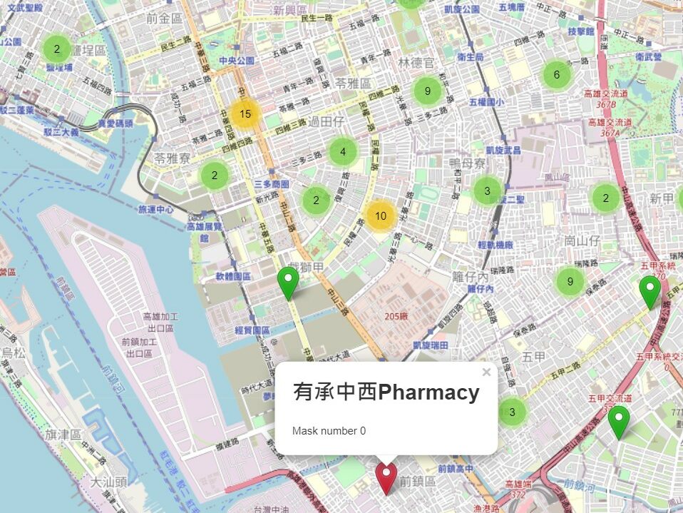
According to latitude and longitude, import data and images literally. Like one layer is mask storage quantity, one layer is a map and so on. Furthermore, giving mark a different color based on the total inventory within a certain range. Red is sold out. Orange is danger and green is safe.
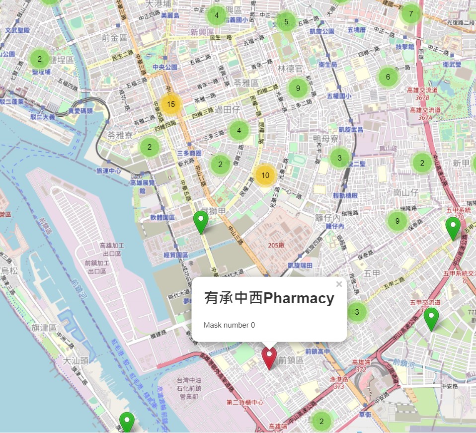
According to latitude and longitude, import data and images literally. Like one layer is mask storage quantity, one layer is a map and so on. Furthermore, giving mark a different color based on the total inventory within a certain range. Red is sold out. Orange is danger and green is safe.