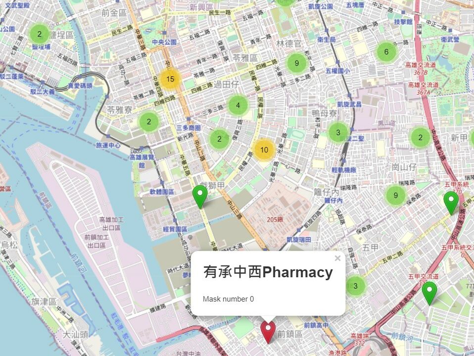
According to latitude and longitude, import data and images literally. Like one layer is mask storage quantity, one layer is a map and so on. Furthermore, giving mark a different color based on the total inventory within a certain range. Red is sold out. Orange is danger and green is…
About Me

Hi! I’m Sandra, a Web Developer with a passion for crafting engaging websites and ensuring seamless user experiences. My journey in web development has led me to proficiently use JavaScript, React, HTML, CSS, Node.js, MySQL, and PHP to bring creative ideas to life.
I’m the kind of person who loves diving into the technical aspects while ensuring every pixel aligns with the user’s needs. Whether it’s using tools like Figma for visually stunning designs or Cypress for robust web tests, I thrive on finding innovative solutions and enhancing functionality.
Beyond coding, I’ve found joy in collaborating across teams, delving into API integration, and providing top-notch technical support. My aim is to not only build great products but also ensure they work seamlessly for everyone. I’m enthusiastic about learning and tackling challenges head-on in fast-paced environments.
Outside of coding, you might find me enjoying a good book, travelling or exploring new hiking trails. I’m excited about the possibilities that technology brings and always ready for the next learning adventure!
